-40%
⫸ 1954-12 December Vintage Original Map NORTHERN AFRICA National Geographic A3
$ 4.35
- Description
- Size Guide
Description
⫸1954-12 Vintage Original Map – Northern Africa - National Geographic
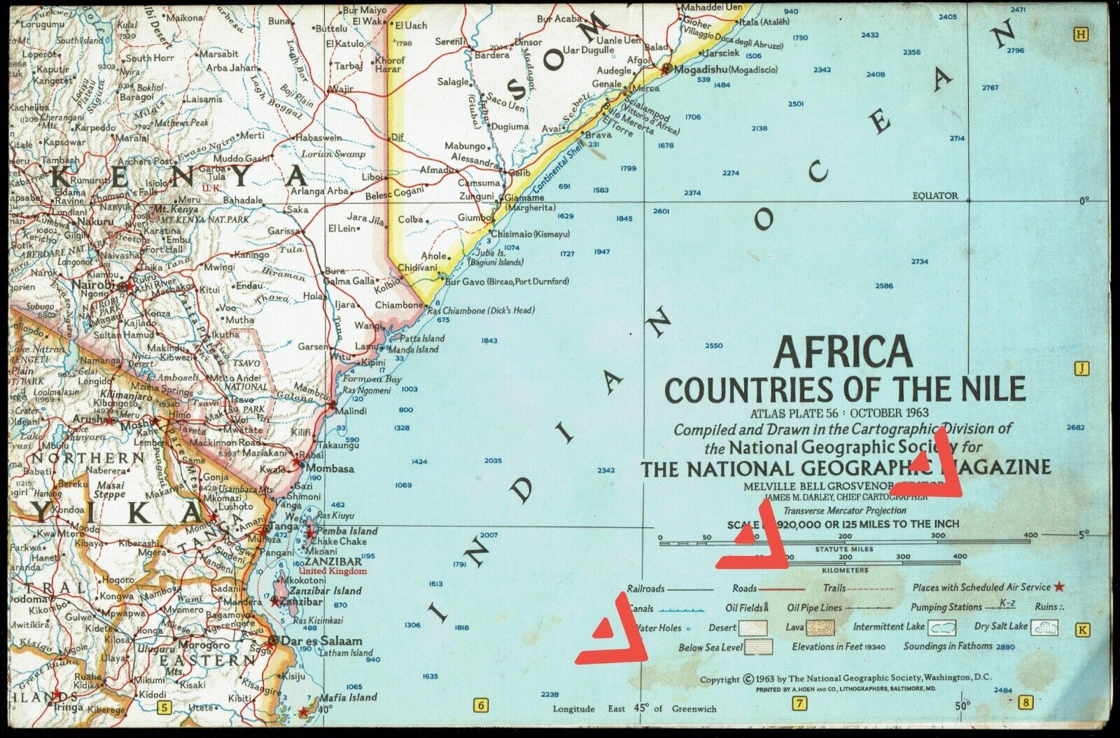
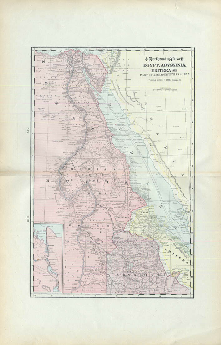
Single-side classic National Geographic map of Northern Africa, consisting of parts of southern Europe (to the north) and French Equatorial Africa, part of the Belgium Congo, Uganda, and Kenya (to the south). There are map insets of the Great Rift Valley; the Nile Delta and Suez Canal; and two insets covering the Eastern Mediterranean.
Map is approximately 29” x 41”.
The National Geographic is known for it's fine maps & detailed information.
Supplement to the National Geographic Magazine; magazine is not included.
Always use your cart to obtain any discounts!
U.S. Shipping
- Please select:
1) USPS Mail Service or Media Mail (average delivery time) .50 for the first item and 50
¢ for each additional item.
2) USPS Package Service (faster delivery and with tracking) .00 for the first item and 50¢ for each additional item.
x
x
x


